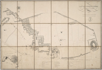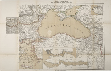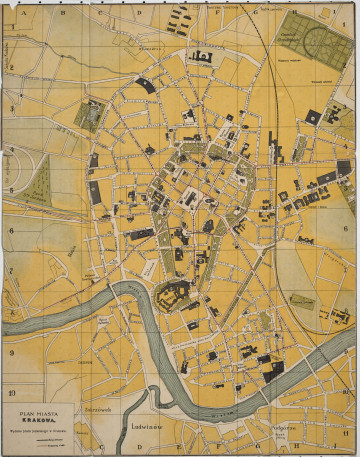
Plan des Fouilles de Pompeia
1826
Castle Museum in Łańcut
Part of the collection: Cartography
The 19th century was only a time of the industrial revolution, scientific and technical progress, and development of the state administration, but also the rise of interest in travelling the continent and beyond it. In the so-called “Century of Steam”, there was a rapid increase in the population of cities. The first cities with a population of a million appeared in Europe. This resulted in greater demand for detailed city plans and larger areas included as territorial administrative units. This map shows the German-French border region of Alsace-Lorraine and the territories of Belgium and Luxembourg that border it. In the upper right corner, there is an enlargement (detailed map) of the Belgian-French border. The map in the scale of 1 : 1,000,000 was published by Verlag & Klasing in Bielefeld and Leipzig, active between 1833 and 1954. The map is foldable and bound in a paper cover. The Counts Potocki – like most Polish aristocrats – liked to travel, hence a large collection of plans and maps has survived. Łukasz Chrobak
Author / creator
Object type
Cartography
Technique
flat print
Material
paper, paint
Creation time / dating
Owner
Castle Museum in Łańcut
Identification number
Location / status

1826
Castle Museum in Łańcut

1877
Castle Museum in Łańcut

1913
Castle Museum in Łańcut
DISCOVER this TOPIC
National Museum in Szczecin
DISCOVER this PATH
Educational path